The Pinhoti Trail
A hiker-first overview: what it is, what it feels like, and how to approach it.
What to expect
The Pinhoti is a long-distance trail built for real hiking: woods, ridges, creek crossings, and long quiet miles. Treat it like a backcountry hike — even on “short” trips.
- Terrain: rolling to rugged, depending on your section
- Navigation: follow blazes + verify with a map/track
- Water: seasonal; plan conservatively and carry extra when dry
- Wildlife + weather: standard Southeast considerations
Best seasons
Most hikers prefer cooler months for comfort and visibility. Summer can be doable but demands more water, heat management, and bug tolerance.
Tip: Keep a “conditions” note on your Resources page (water, blowdowns, closures) as you collect local intel.
Trail marking
The Pinhoti is commonly identified by a distinct blaze/emblem. Learn it, then you’ll spot it instantly.
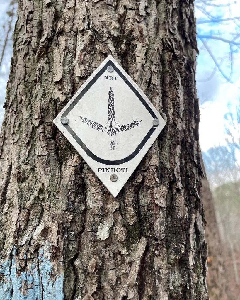
Example blaze/signage (photo).
Leave No Trace basics
- Plan ahead (weather + water + turnaround time)
- Stay on trail to prevent erosion
- Pack out everything (including food scraps)
- Respect private property and posted areas
- Keep noise low; give wildlife space
Add local stewardship info here as you partner with trail organizations.